Technology
Industry 4.0
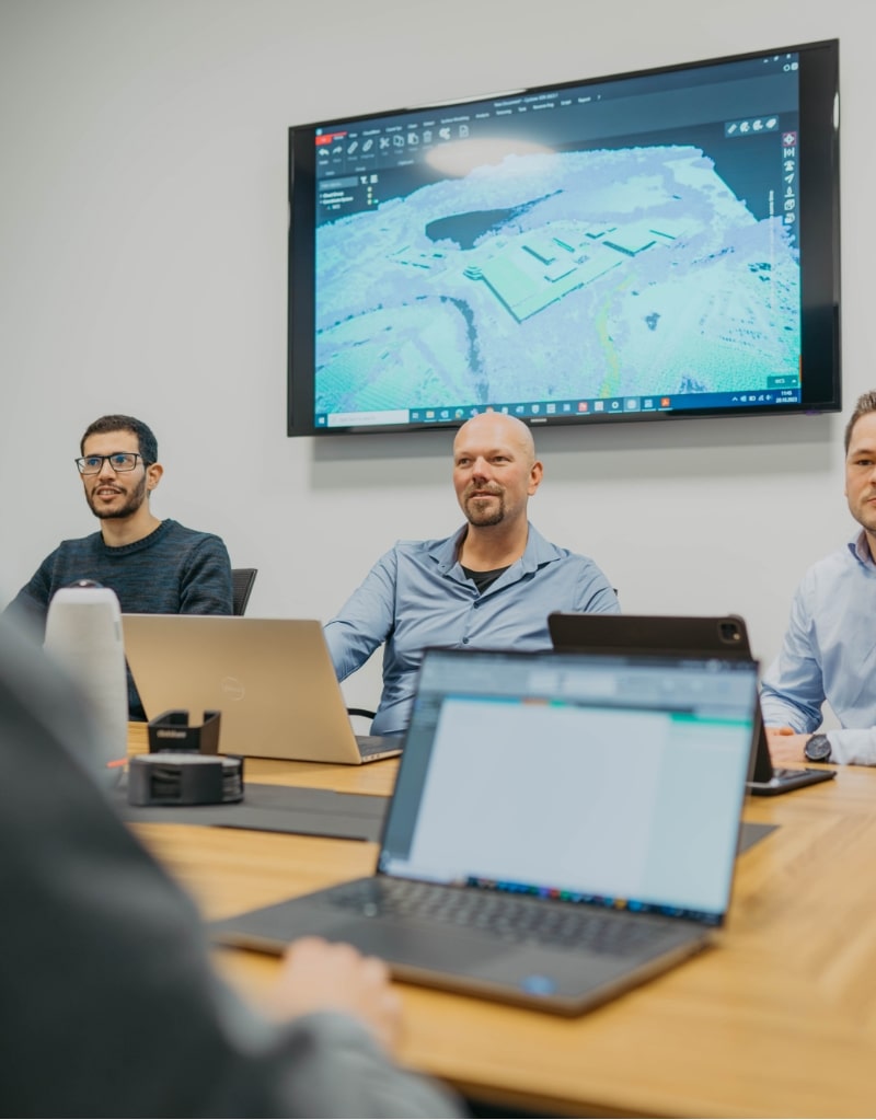
Our technology
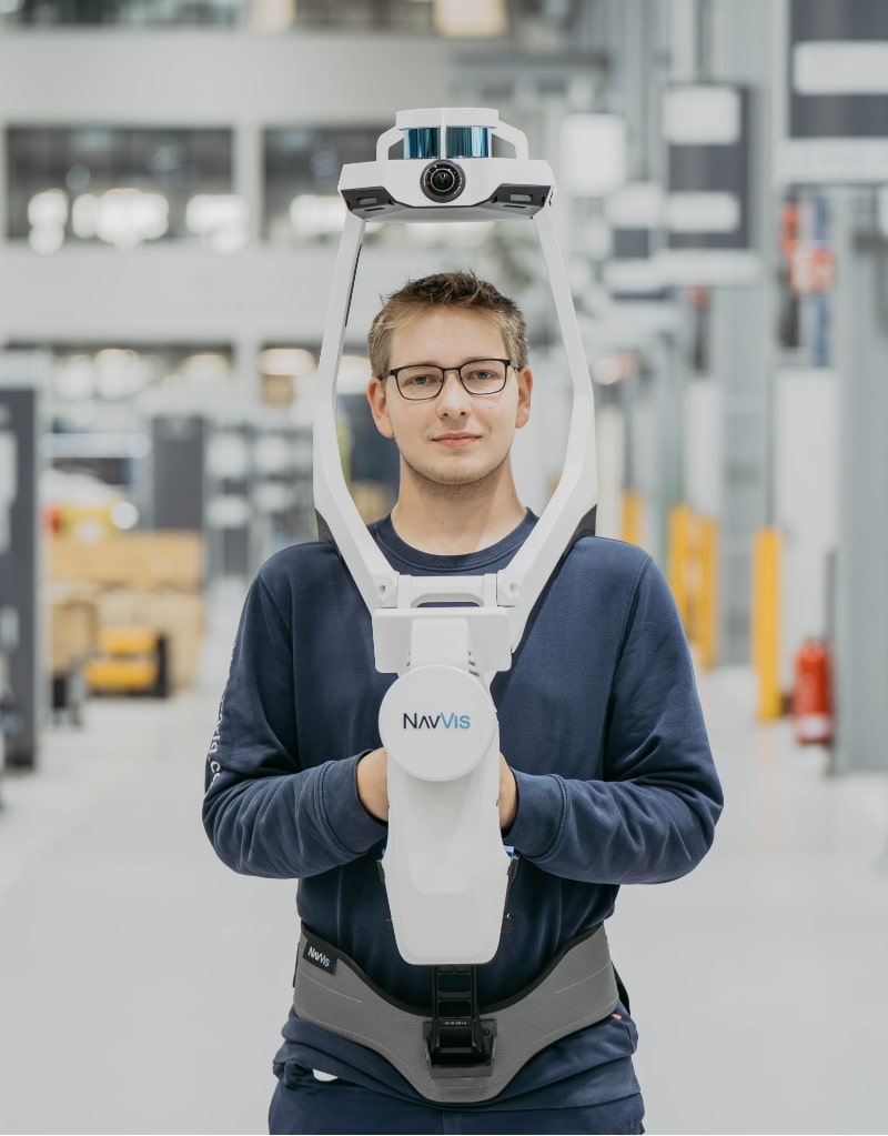
Laser scanning
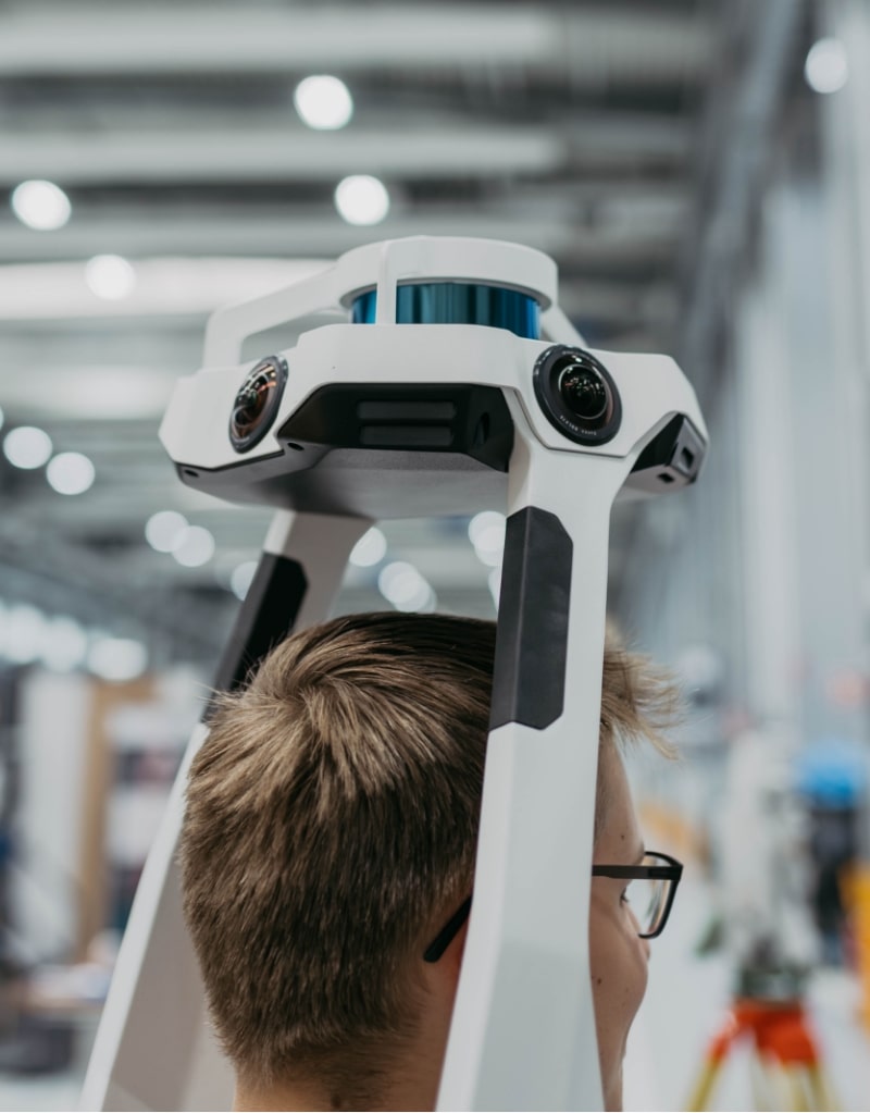
by using laser scanners we collect the date of your facilities in record time.
The combination of laser scanning with common surveying tools such as total stations and GNSS enables precise and accurate data collection. Detailed and accurate documentation is available for complex factory systems. By precisely recording the current status plant operators, maintenance staff and project managers can save time and money in their day-to-day work. The system allows seamless integration of text and image information, providing instant access to comprehensive documentation of all components, such as operating instructions, maintenance plans or configurations, available with just a click of a button.
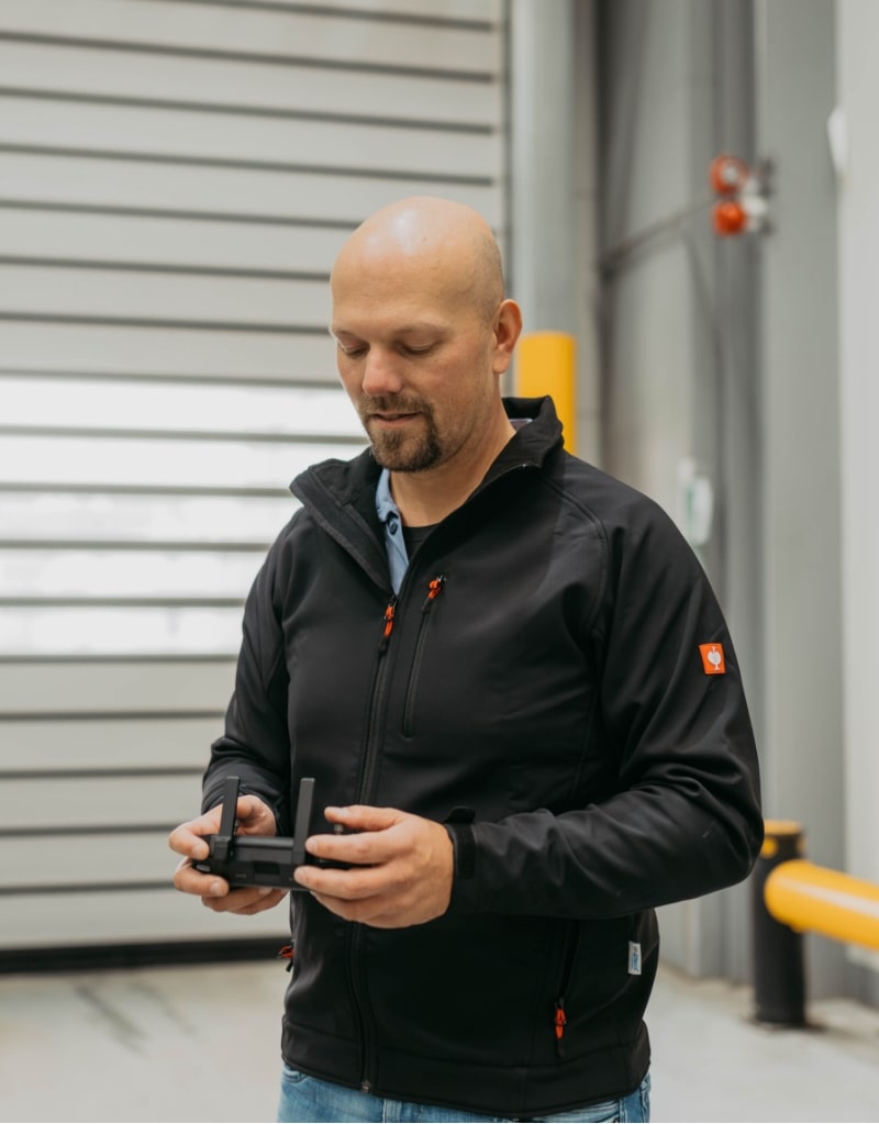
Drone flights
Using drones to survey large areas efficiently and precisely.
Terrestrial laser scanners often create considerable shadows on the facades of buildings due to its ground-level perspective. It is not always possible to capture roof surfaces by walking over them using a scanner. Photogrammetric images by scanning with drones opens up the possibility of capturing these hidden areas from different perspectives. We achieve accurate measurement by georeferencing both data sets.
We prioritize legal and safety standards, ensuring that our team regularly attends training courses and seminars. This commitment enables us to handle all your projects in compliance with current regulations and using the latest technology. Our team holds all necessary licenses and permits for drone flights, our high-performance drone is certified according to C2 standards.
Total station / GNSS
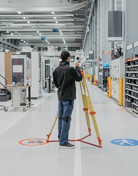
Mesh measurement accurate to the millimeter
Total station and GNSS are conventional surveying systems used in geodesy. Unlike laser scanning and photogrammetry, which work with extensive grid measurements, these methods work with point measurement.
Besides control network tachymetry and GNSS are also used for topographic surveys, construction surveys and deformation and settlement measurements.
Cloud-based applications
Easy access without CAD knowledge. Available worldwide.
Application examples
- Definition of single points for localization and room or area divisions
- Supplement of the points with additional information (e.g. data sheets, videos, IoT data, etc.)
- Identify and extract single measurements (coordinates, horizontal and vertical distances, inclined distances)
- Area calculations (horizontal, vertical, rectangular areas, polygon areas)
Don’t miss your chance to recognize the value of your data
Embracing the era of Industry 4.0, accurate inventory management is becoming increasingly important, companies depend on up-to-date, reliable and constantly available data. Our mission is to create high-quality 3D models of systems and buildings for our customers ensuring access to data anytime and anywhere. This empowers our customers to plan, optimize and improve their processes more efficiently.
We place great value to high-quality and sustainable measurement data. Our experienced team is dedicated to delivering exact results.
Let's talk about your visions.